Long Lake Loop (Hike, Ski)
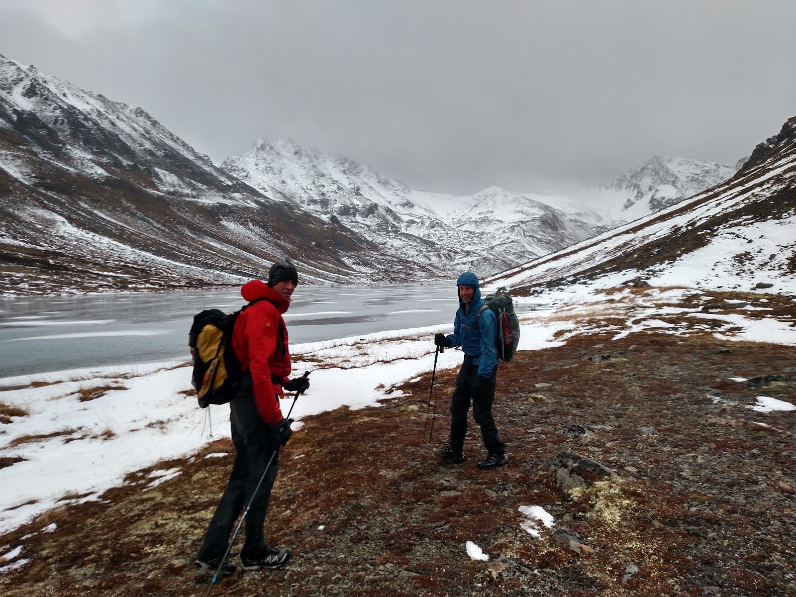 |
| Matt Rafferty and JT Lindholm by Long Lake |
 |
| Upper Williwaw Lakes |
Long Lake is one of these magical places. It is shaped like a bow, with a shallow gravel bar of old moraine that nearly divides the lake in the middle. The glacier that carved the valley is nearly gone, but its remnant lives beneath the talus of a rock glacier approximately one mile uphill and to the east of Long Lake. This rock glacier’s face rests in a much smaller tarn. Koktoya Peak and Mount Williwaw rise abruptly from the alpine valley. To its south, a very low pass separates the Long Lake valley and north fork of Campbell Creek from Williwaw Lakes and the middle fork of Campbell Creek.
The upper Williwaw Lakes provide striking views of sheer rock faces on Mount Williwaw, the tallest Front Range peak. In winter’s two-toned palette, these faces seem as massive and dignified as Ansel Adams’ Yosemite. Campbell Creek’s middle fork meanders down from one small lake to another, sometimes riffling through wide gravel bars before the creek consolidates into a single channel and drops out of the alpine into forest.
There is a trail the entire way from Stuckagain Heights to Long Lake and over to Williwaw Lakes. Park at the Stuckagain trailhead, which is at the end of Basher Road. There is a medium sized parking area next to the metal barrier that marks the border with the adjacent military base. Walk uphill paralleling the fence line, then follow the trail steeply downhill to where it crosses the north fork of Campbell Creek on a small wooden bridge. The trail climbs steadily toward The Dome after this creek crossing, but instead of going all the way up to the alpine take a right turn at an unmarked trail intersection and walk up the north fork of Campbell Creek valley. The trail peters out but always reappears, with routes around both the north and south sides of Long Lake. Then it crosses the pass and descends to Williwaw Lakes. From Williwaw Lakes, the well-used Middle Fork Trail leads back down toward town.
The shortest version of the Long Lake/Williwaw Lakes Loop requires leaving a car or bike at the Basher Road trailhead, which is a couple of miles downhill from the Stuckagain Heights trailhead. It is also possible to do the whole loop from Basher or Prospect Heights trailheads, going up and over Near Point to access the north fork of Campbell Creek. Either way, give yourself a full day. This route is a common cross country ski route in winter, though travellers should be familiar with avalanche terrain and take steps to stay out of it.
In the summer, you will likely see many tents out around Long Lake and Williwaw Lakes. In the fall, the hike feels more like wilderness, particularly when weather from Prince William Sound is blown in against the mountains and relentless winds pour down the valleys. During times like these, the Front Range seems to hold back the storm, giving Anchorage hikers a few more weeks to get out and traverse through the incredible state park in our back yard.

Comments
Post a Comment